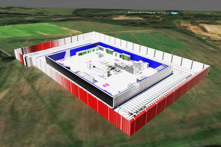
Potential Energies
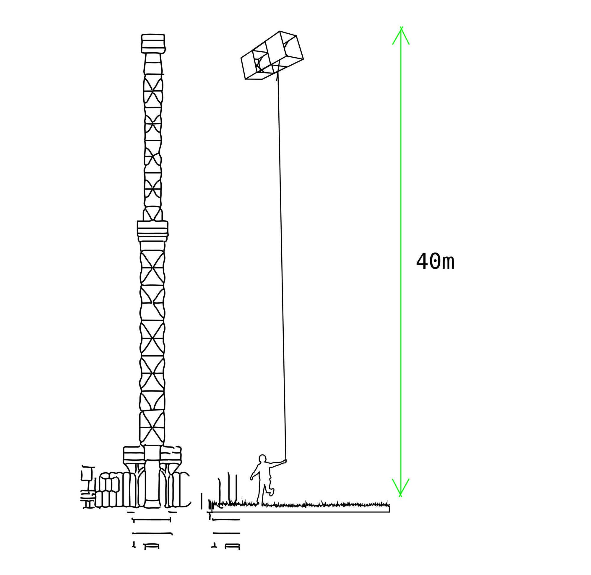
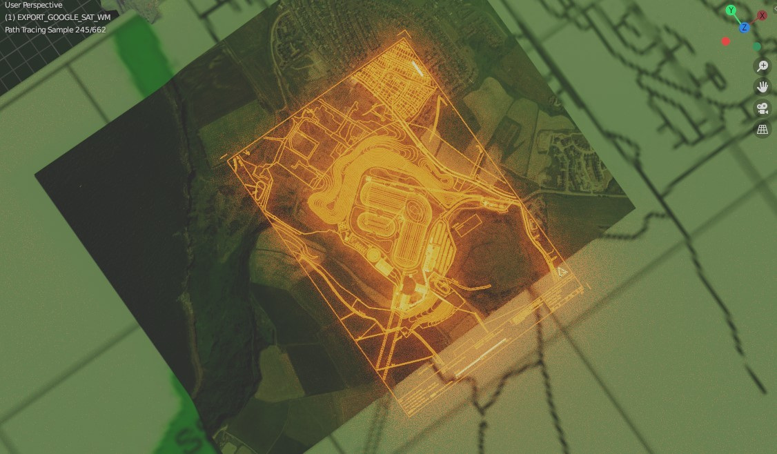
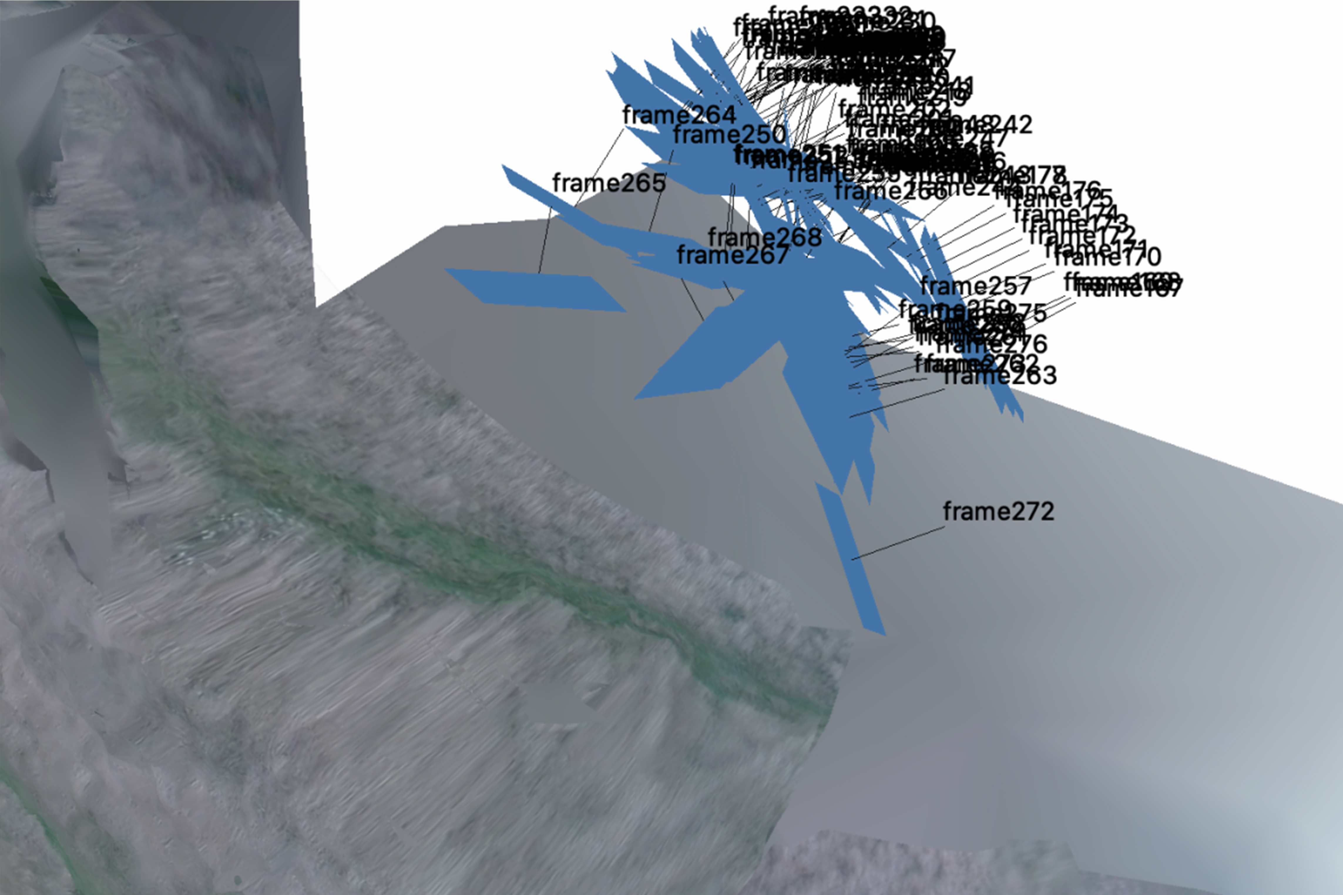
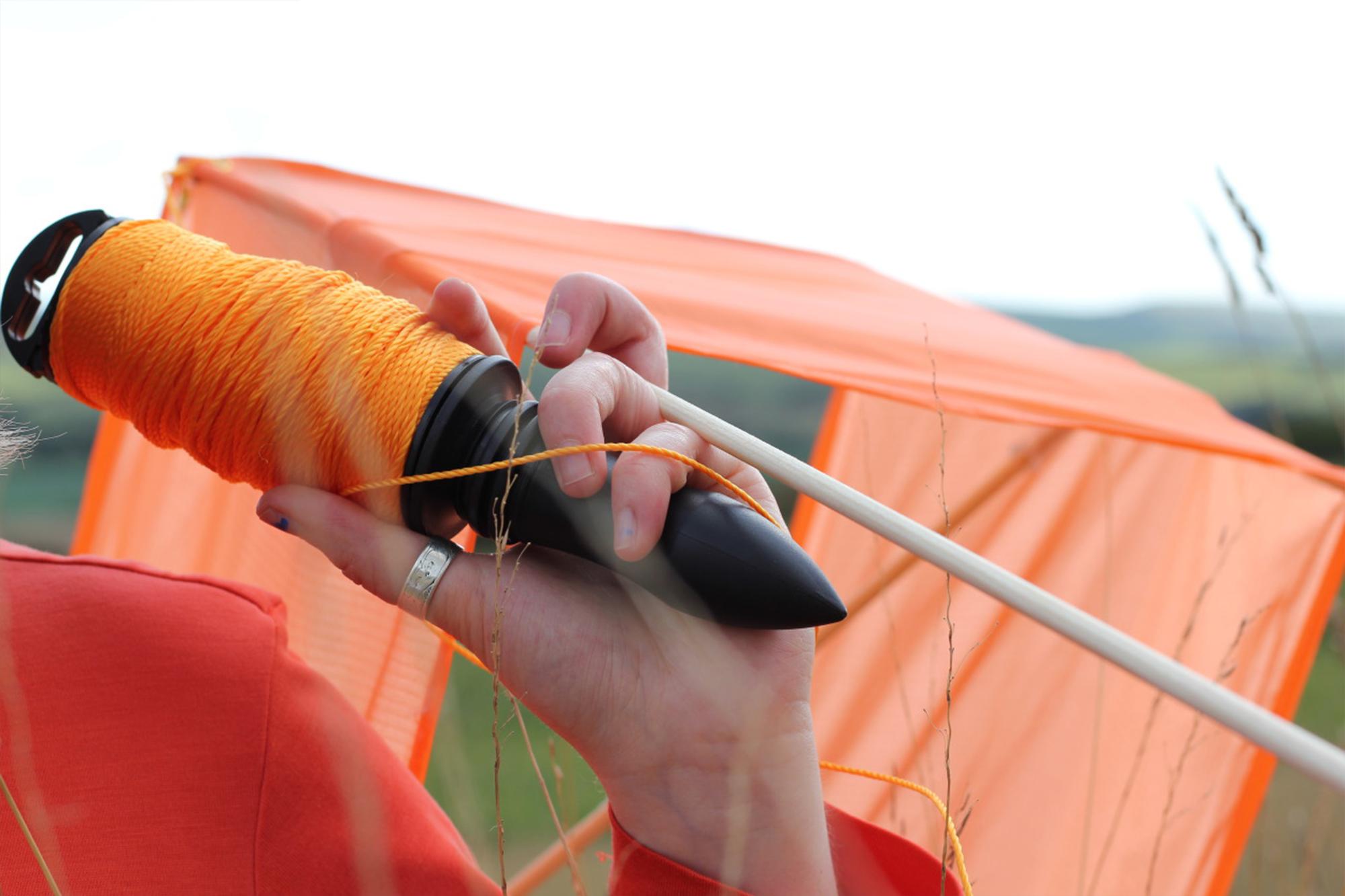
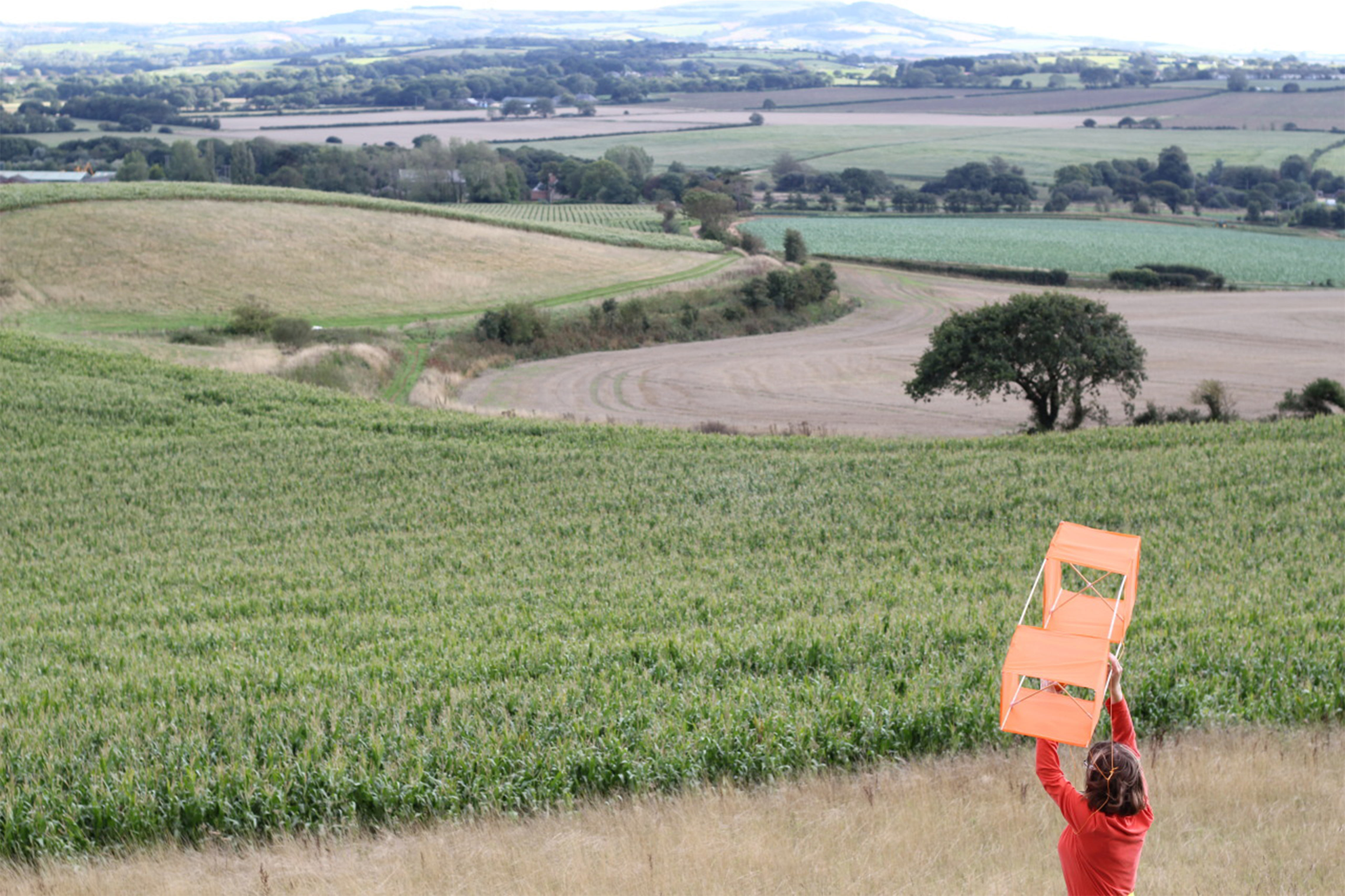
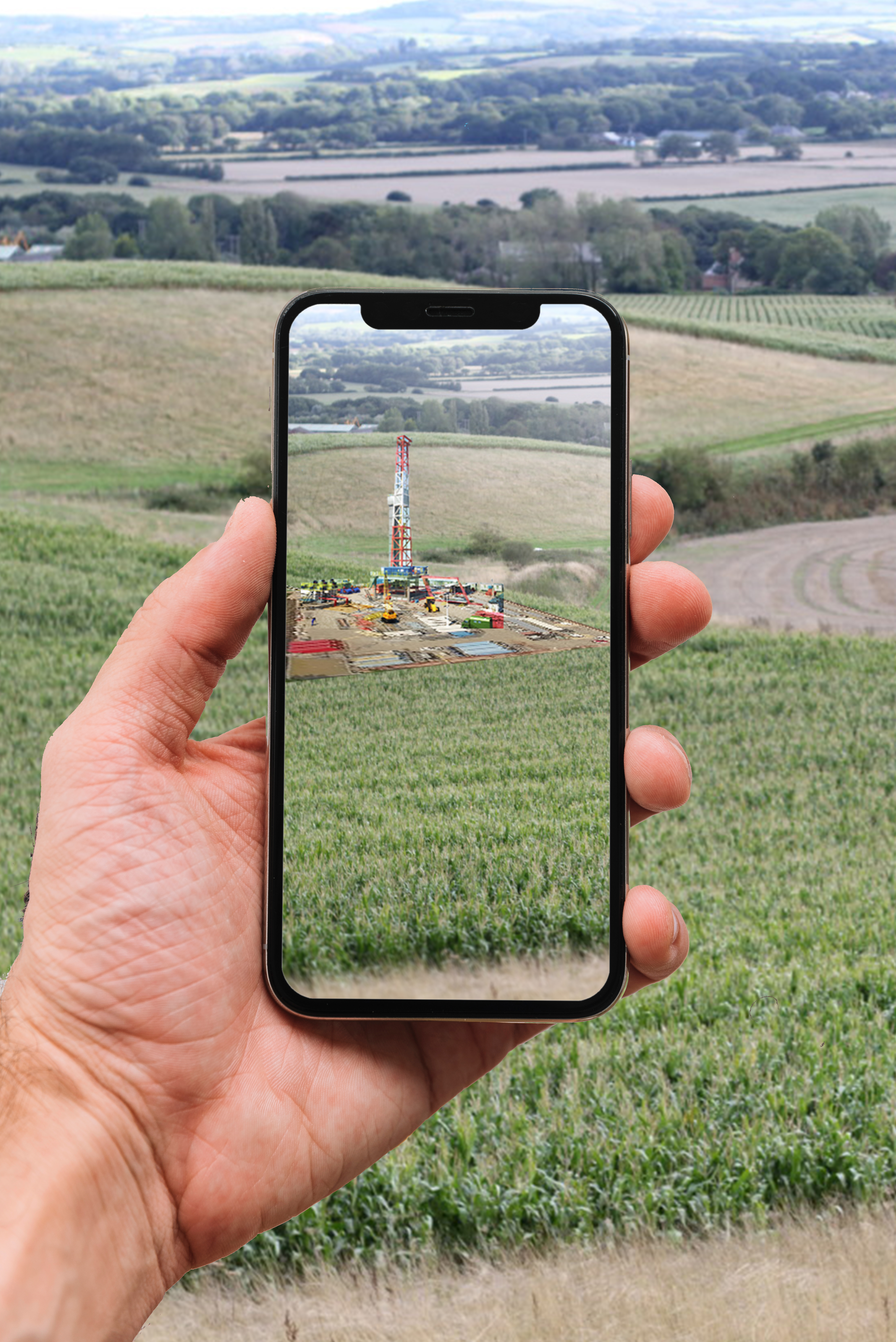
Parallel investigations into a current oil drilling proposal on the Isle of Wight, and a coal mine in Cumbria and DIY environmental mapping, sensing and modelling techniques. I have been developing kite aerial photography and photogrammetry techniques as a way of visualising the site from above; a kind of analogue drone powered by wind energy. I am now experimenting with AR to generate alternative ways of visualising and experiencing the potential plans. How can the public visualise, interact with and understand ecological implications of these plans?
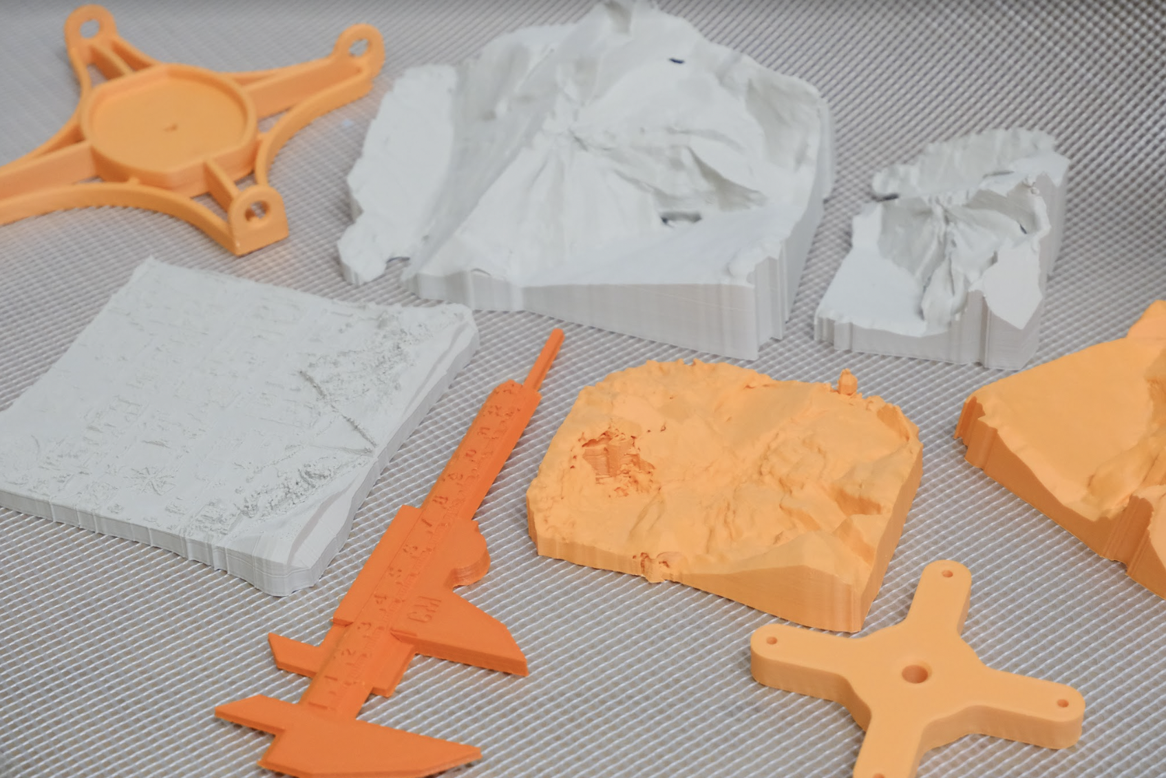
I have since developed an inventory of DIY tools for mapping & sensing during a residency at Makerversity in Somerset House. Throughout this process, I have also initiated conversations with community groups such as Public Lab, the Aerocene foundation and more local kite enthusiasts. This work culminated in a residency at Makerversity and work was shown at London Design Festival.